
Geo Map Digital Land Survey
We provide accurate, fast, and reliable digital land surveying solutions using advanced instruments and modern surveying techniques. From boundary surveys to CAD reports, Geo Map ensures clarity, compliance, and confidence for every project.
Certified & Experienced Surveyors | Advanced Digital Survey Tools | Fast & Accurate Results | Transparent Pricing
About Us
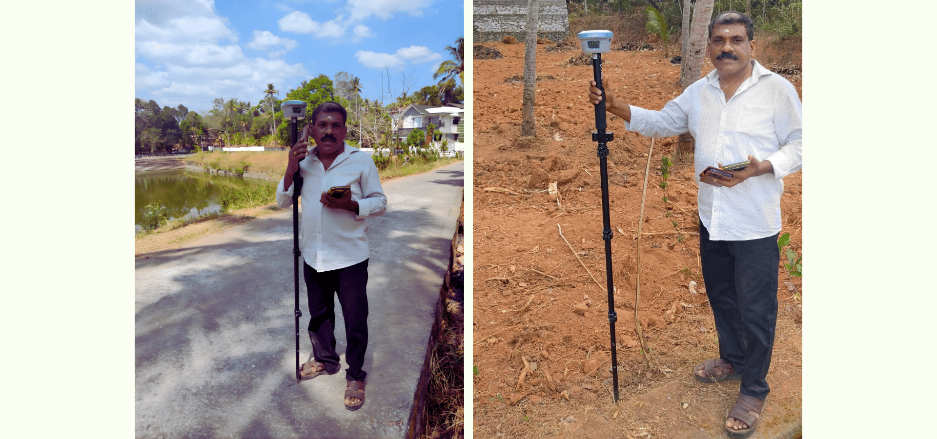
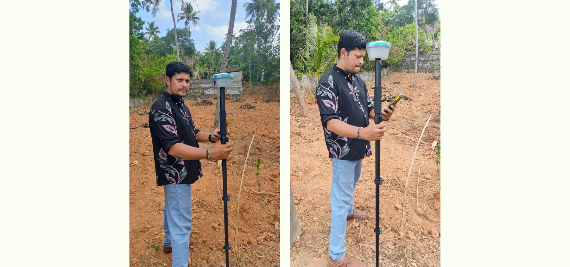
25 years of exp in Engineering & Land Survey Field.
Geo Map is a professional digital land surveying company delivering high-precision survey services for residential, commercial, and infrastructure projects. With years of field experience and cutting-edge technology, we help landowners, builders, architects, and developers make informed decisions.
Our surveys are carried out with strict adherence to legal standards, ensuring accuracy, reliability, and government compliance. We combine technical expertise with customer-focused service to deliver results you can trust.
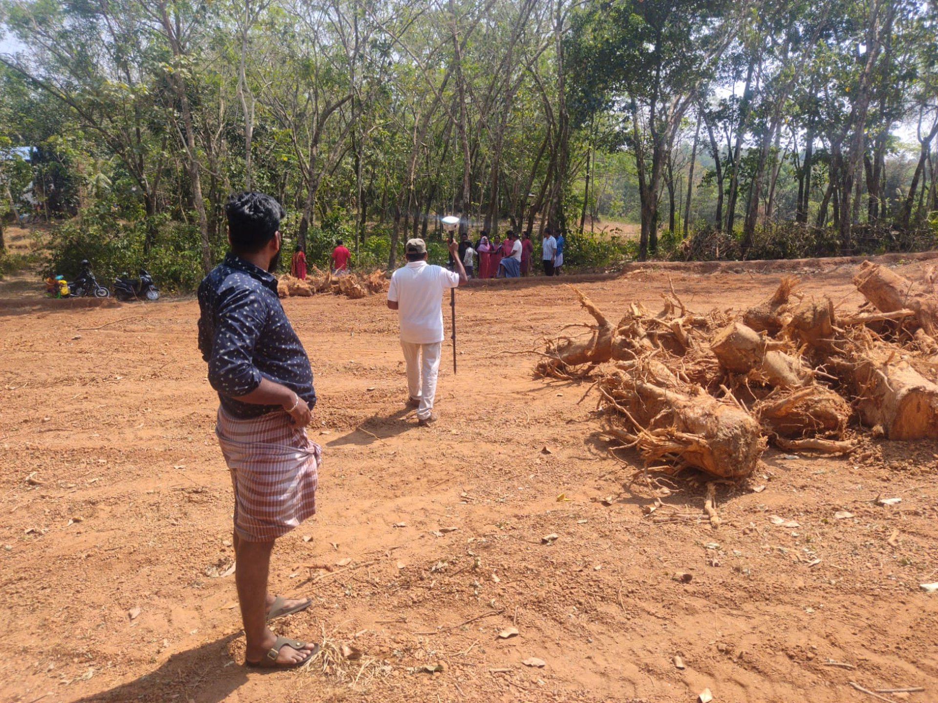
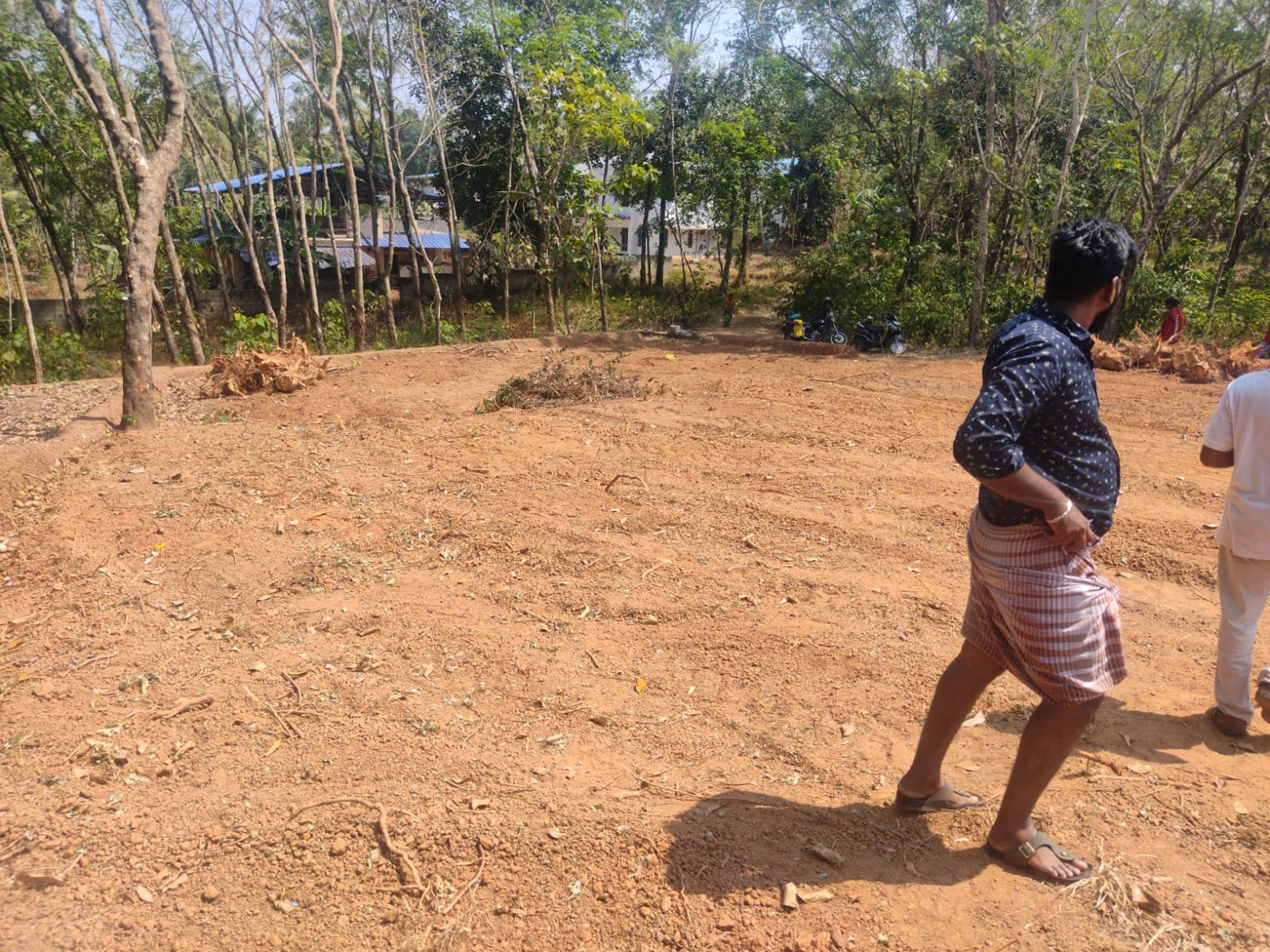
Experianced landsurvey team


Geomap Digital Landsurvey Trivandrum /Attingal /Navaikulam. Professional & Trust-Building
“We provide high-accuracy land survey using latest GPS technology integrated with Government CORS data for reliable, legally accepted results.”
“Modern GPS + Govt CORS based land survey services for plots, boundaries, resurvey & documentation.”
Experienced & Licensed Engineers.
OUR SERVICES
Boundary Survey


Accurate identification and marking of property boundaries to avoid disputes and ensure legal clarity.


Subdivision Survey
Professional land subdivision surveys for plotting, registration, and development purposes.
Detailed mapping of natural and man-made features, elevations, and contours for planning and design.
Topographic Survey
Construction Survey


Precise layout and leveling services to guide construction from start to finish.


Road Survey
Comprehensive surveys for road alignment, widening, and infrastructure development.
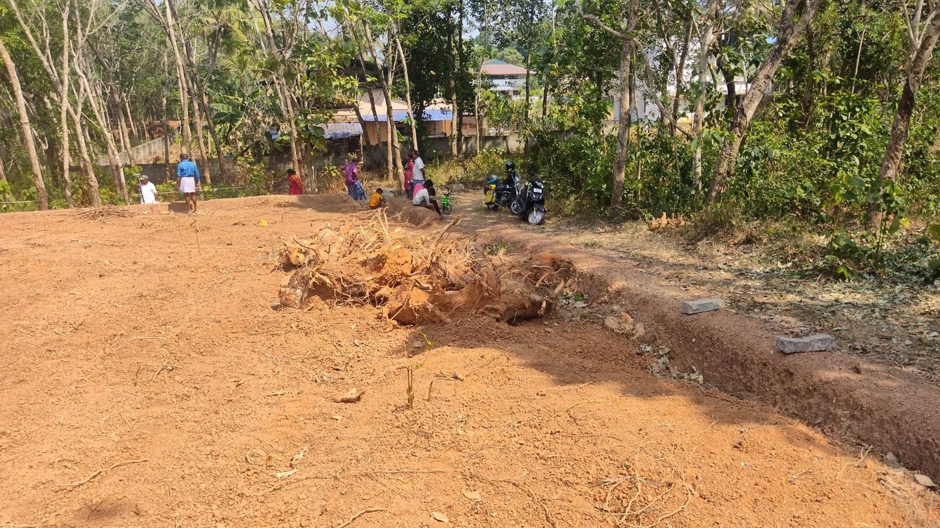
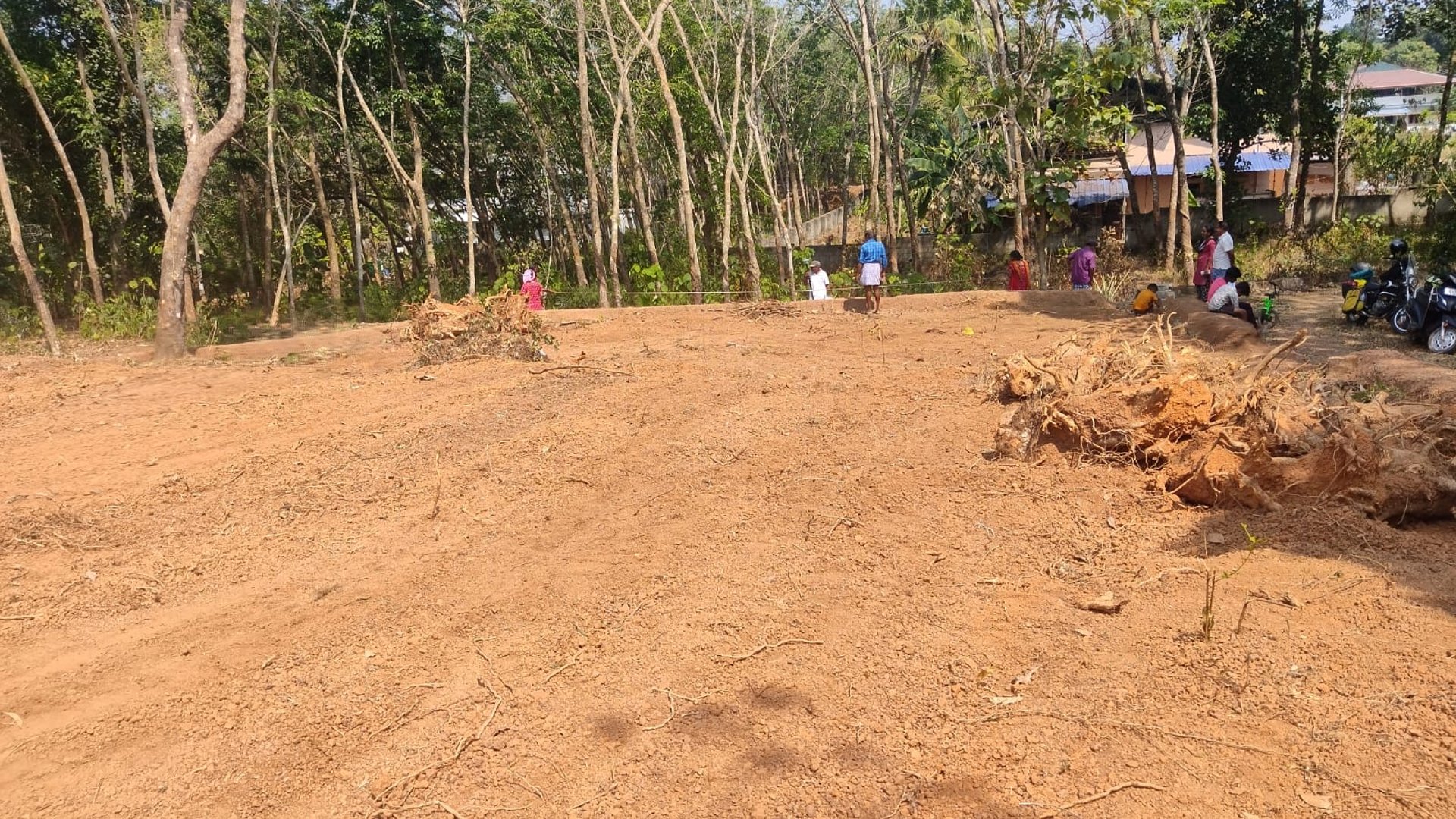
End-to-end land measurement services using modern digital instruments for maximum accuracy.
Land Survey
Contour Survey
Elevation and contour mapping essential for drainage planning, earthwork, and site development.


Building Permit & Completion Survey
Surveys required for building permits, approvals, and completion certificates as per regulations.
Professional valuation services for property assessment, loans, and legal purposes.
Building Valuation
Building Estimation


Accurate cost estimation to help plan construction budgets efficiently.
WHY CHOOSE GEO MAP?


Certified & Experienced Surveyors
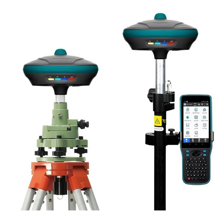
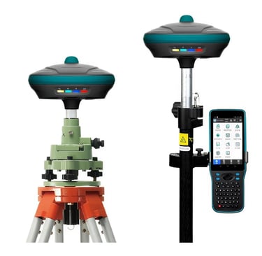
Advanced Digital Survey Equipment
Fast Turnaround Time
High Accuracy & Reliability
Transparent & Fair Pricing
Customer-Focused Approach
CAD SURVEY REPORTS
Clear. Detailed. Professional.
We proudly serve All Kerala with reliable on-site survey services.
SERVICE AREAS
We provide high-quality CAD survey drawings that are easy to understand and ready for submission to architects, engineers, and authorities. Our digital reports ensure precision, clarity, and long-term usability.
LOCATION
Geo Map is a trusted digital land survey company providing accurate, reliable, and legally compliant survey solutions using advanced technology and certified surveyors.
+919946220205
Phone: +918139062062
Address: near sankara narayana temple, Navaikulam, Kerala 695603
© 2026. All rights reserved.


CONTACT
Email :geomapsurvey@gmail.com